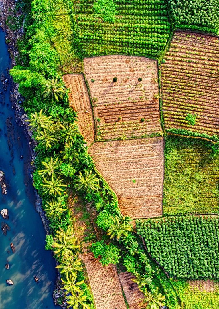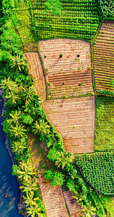

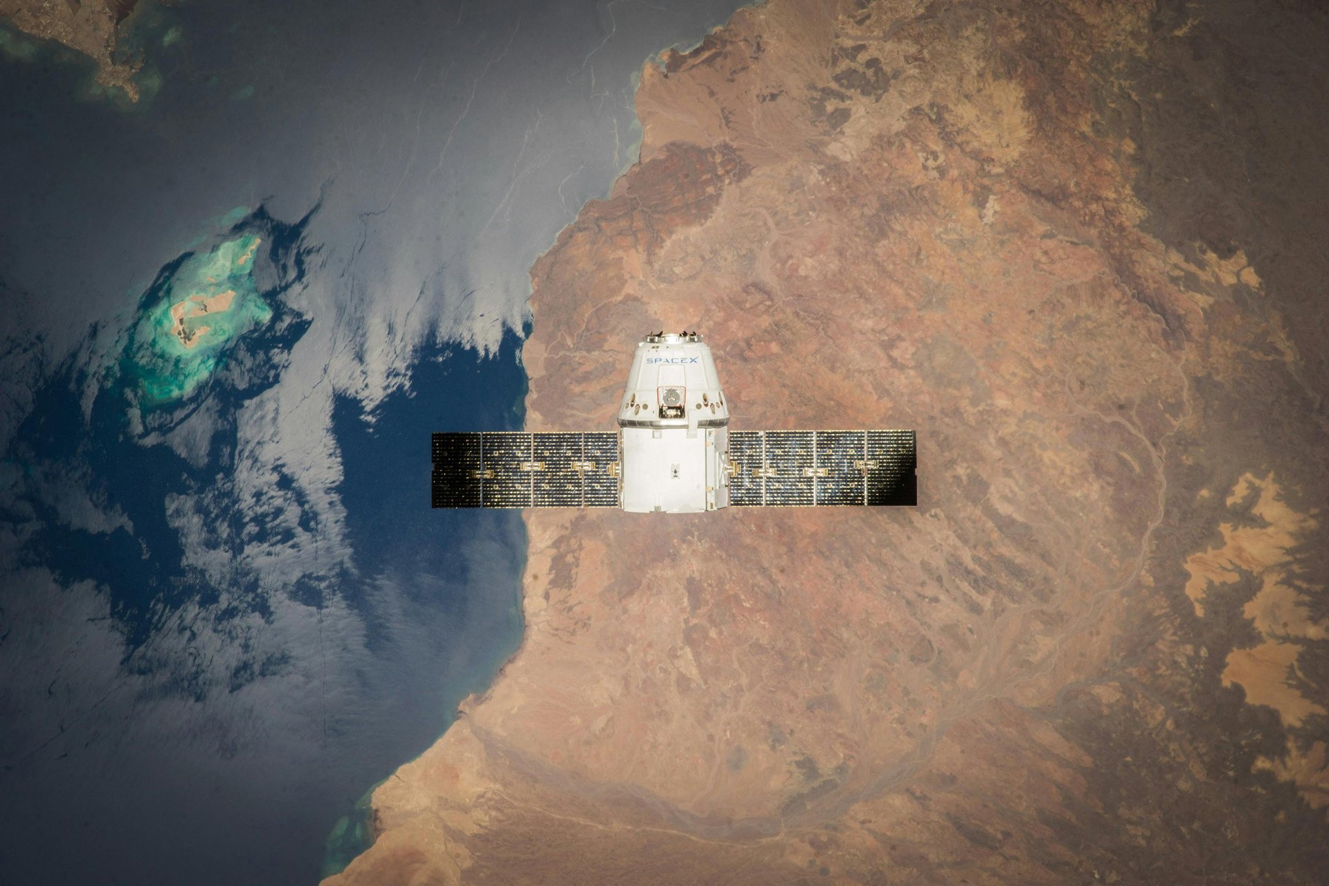
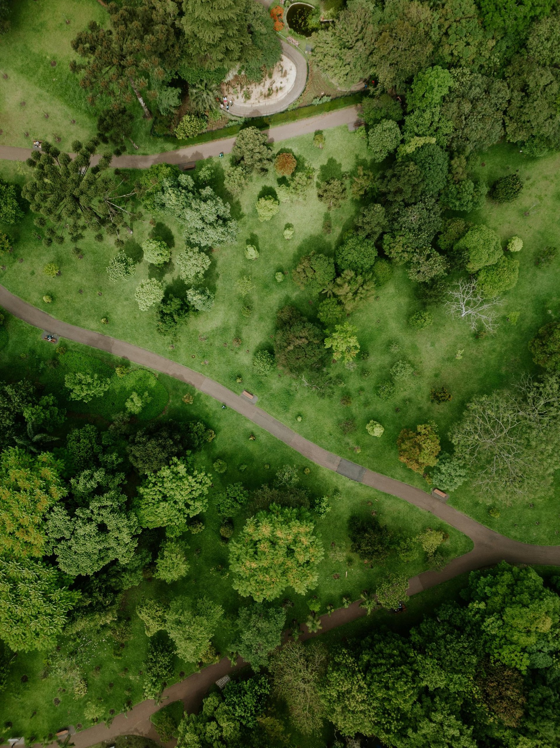
We utilize satellite imagery and aerial data to extract meaningful insights for land monitoring, urban planning, agriculture, and environmental management. Our Remote Sensing solutions help organizations visualize change, detect patterns, and make data-driven decisions whether it’s tracking deforestation, mapping crop health, or analyzing urban growth.
Remote Sensing
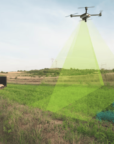
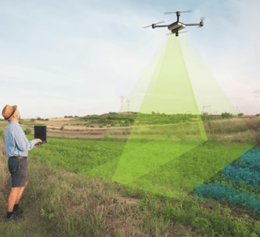
Geospatial Power for Agriculture
We specialize in Remote Sensing for agriculture, helping farmers and organizations monitor crop health, soil conditions, and land use with satellite imagery and spectral analysis. Our expertise enables smarter agricultural planning and sustainable resource management.
In parallel, our advanced LiDAR services offer precise elevation and terrain data essential for flood risk assessment, irrigation planning, and land development. Whether it’s monitoring fields from space or modeling them in 3D, we deliver data that drives better decisions on the ground.