
Empowering Smarter Infrastructure with GIS
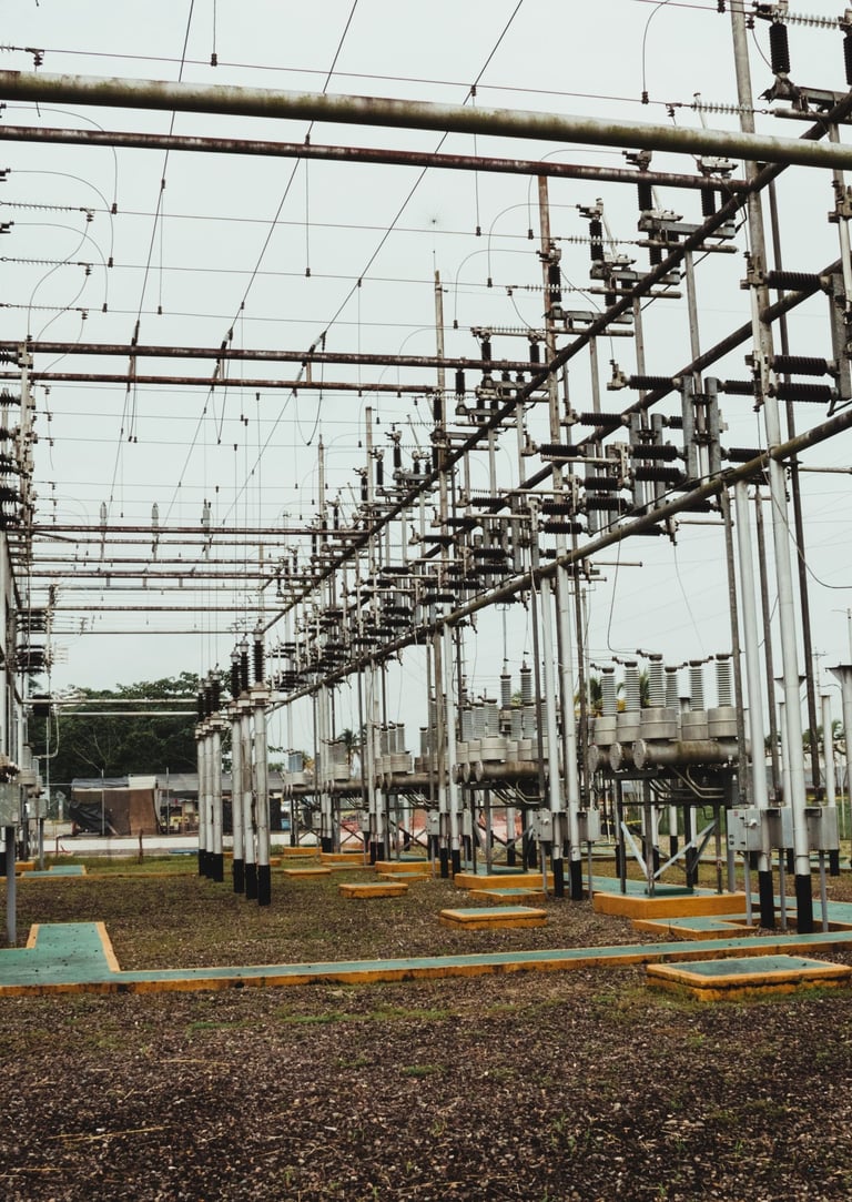
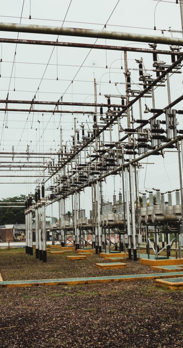
Utility networks are the lifelines of modern cities from water and electricity to gas and telecom. At BeGISer, we support the full spectrum of utility workflows using the latest GIS technologies.
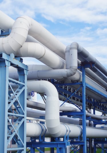
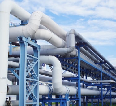
We help utility providers plan, manage, and optimize their networks through data-driven solutions, real-time system monitoring, and intelligent analytics. Whether you're managing underground pipelines or overhead electrical grids, our team delivers tools to increase accuracy, safety, and operational efficiency.
With over 8 years of field experience, our solutions cover
Utility Network modeling (Gas, Water, Electricity, Telecom)
Real-time system tracing and resource flow analysis
Network impact assessments during outages and disruptions
Customized GIS dashboards for operational control
Field data collection & mobile integration
We empower both public and private sectors to modernize legacy systems and build future ready infrastructure.
At BeGISer, we simplify utility network management with smart GIS tools. From mapping underground assets to tracking real-time outages we help utilities work faster, safer, and smarter.