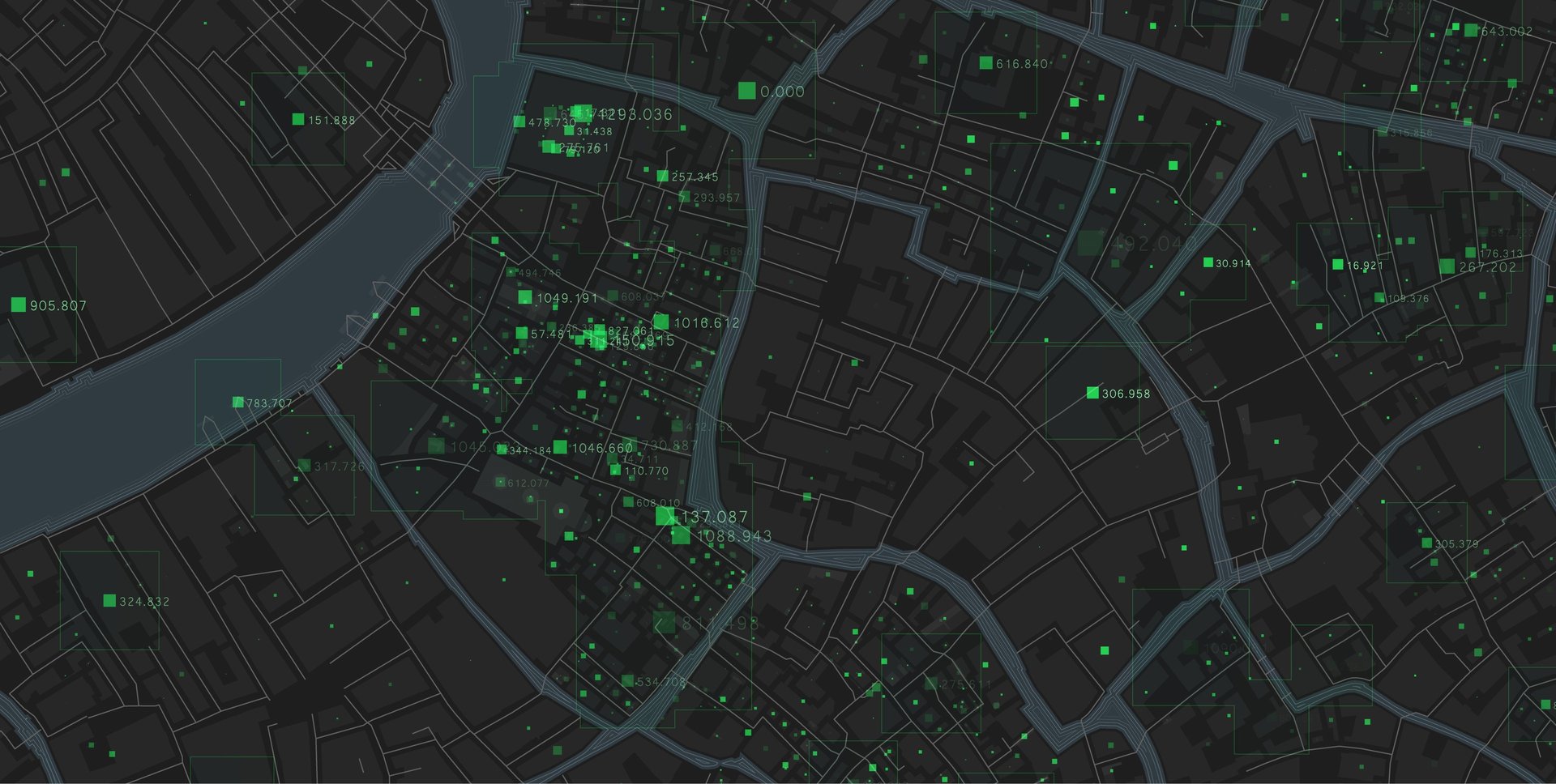
Spatial Data Management
Comprehensive Spatial Data Management, Aligned with Global Standards
Spatial Data Management
Effective spatial data management is key to smarter decisions and optimized operations.
Our experts ensure your geospatial data is accurate, reliable, and aligned with global standards—transforming raw data into actionable insights for sustainable growth.


Data modeling and database design
We design scalable geospatial database models that fit your project goals. Our structured approach improves data access, analysis, and storage efficiency. From schema creation to spatial indexing, we build databases ready for performance.
Quality assurance and control (QA/QC)
We apply industry-standard QA/QC processes to verify geospatial data integrity.
Our methods ensure accuracy, completeness, and consistency across datasets.
This leads to reliable results and supports confident, data-driven decisions.


Data Migration & Conversion
At BEGISer, we offer advanced solutions for the seamless migration and conversion of geospatial data across different formats, platforms, and coordinate systems.
Whether you’re upgrading from legacy systems or integrating data from multiple sources, our team ensures your data is clean, consistent, and ready for immediate analysis and use.


Data Production
At BEGISer, we specialize in producing a wide range of high-quality digital maps that are fully compliant with ISO standards. Our production services cover various map types and scales to meet the diverse needs of governments, utilities, and private sector clients

3d Modeling
We create high-precision 3D GIS models using elevation data from contours, field surveys, and satellite sources.
Our 3D products—such as DEMs, DSMs, and terrain layers—help clients visualize, analyze, and understand the geography in depth, supporting better planning and smarter decisions.
